A new integrated search interface will become available in the next phase of marineinfo.org.
For the time being, please use IMIS to search available data
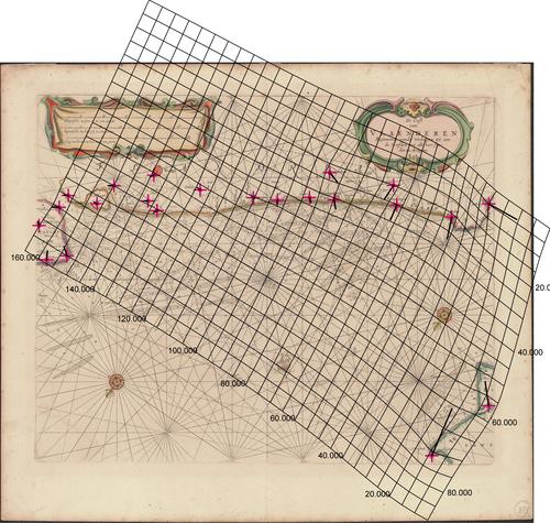
De cust van Vlaenderen beginnende vande Wielingen tot aen de Hoofden met alle haer sanden en droogten Description The distortion grid and the displacement vectors provide a representation of the geometric accuracy of the map and were generated using MapAnalyst (Jenny & Hurni 2011).JPG file - 3.94 MB - 5 000 x 4 747 pixelsadded on 2016-03-18237 viewsMap based on Jenny, B.; Hurni, L. (2011). Studying cartographic herita...Click here to return to the thumbnails overview |

