A new integrated search interface will become available in the next phase of marineinfo.org.
For the time being, please use IMIS to search available data
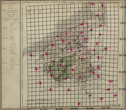
Département de la Lys, divisé en 4 arrondissements et en 36 cantons gravé par P.A.F. Tardieu. Description The distortion grid and the displacement vectors provide a representation of the geometric accuracy of the map and were generated using MapAnalyst (Jenny & Hurni 2011).JPG file - 3.24 MB - 5 000 x 4 354 pixelsadded on 2017-01-18314 viewsMap based on Jenny, B.; Hurni, L. (2011). Studying cartographic herita... This work is licensed under a Creative Commons Attribution-NonCommercial-ShareAlike 4.0 International License Click here to return to the thumbnails overview |

