A new integrated search interface will become available in the next phase of marineinfo.org.
For the time being, please use IMIS to search available data
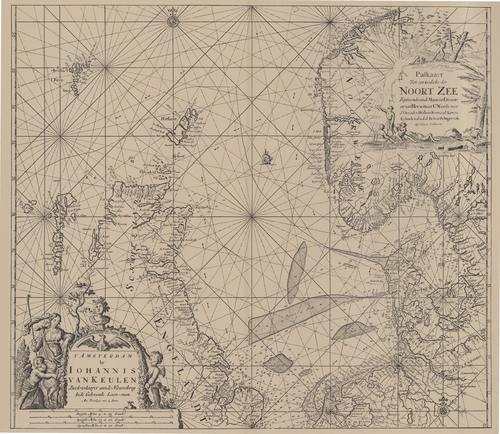
Van Keulen (1728, kaart 04) Description Paskaart Van een Gedeelte der Noort Zee Beginnende Vande Maas tot Dronte en van Herwits tot C.Wrath Mer d'Orcades, Hitlant Fero, ende Lewys Eylanden als ook de Belt en Schager-rak Op Nieuws Verbetert Datum:1728 Plaats:NoordzeeJPG file - 4.07 MB - 7 166 x 6 215 pixelsadded on 2011-07-281 274 viewsFrom reference Voogt, C.J.; van Keulen, G. (1728). De Nieuwe Groote Lich...Click here to return to the thumbnails overview |

