A new integrated search interface will become available in the next phase of marineinfo.org.
For the time being, please use IMIS to search available data
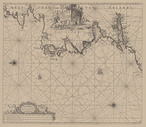
Van Keulen (1728, kaart 61) Description Paskaart Vande West Cust van Yrlandt Beginnende van Klady Tot aen De Blasques, Met alle zyn Diepte en Drooghte Dus ver Naaukeurig opgestelt en van veel fouten verbetert A° 1682Datum :1682Plaats: West-IerlandJPG file - 3.98 MB - 7 136 x 6 227 pixelsadded on 2011-08-03930 viewsFrom reference Voogt, C.J.; van Keulen, J. (1728). De Nieuwe Groote Lich... (page [229])Click here to return to the thumbnails overview |

