A new integrated search interface will become available in the next phase of marineinfo.org.
For the time being, please use IMIS to search available data
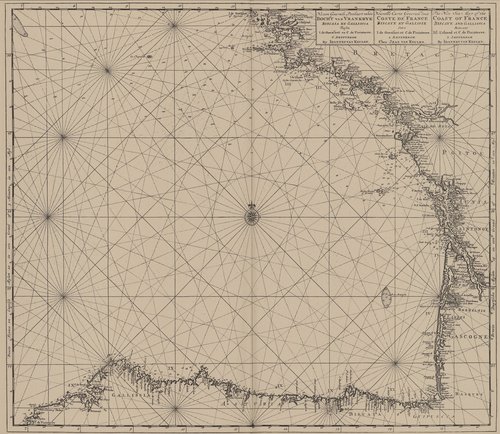
Van Keulen (1728, kaart 64) Description Nieuwe Generale Paskaart vande Bocht van Vrankryk Biscaia en Gallissia Tussen I. de Ouessant en C. de Finisterre = Nouvelle Carte Generale dela Coste de France Biscaye et Galisse Entre I. de Ouessant et C. de Finisterre = The New Sea Map of the Coast of France biscaye and Gallissia Betwext Isl. Ushand et C. de FinisterreDatum :1728Plaats: Golf van BiskajeJPG file - 4.07 MB - 7 252 x 6 293 pixelsadded on 2011-08-031 771 viewsFrom reference Voogt, C.J.; van Keulen, J. (1728). De Nieuwe Groote Lich... (page [240])Click here to return to the thumbnails overview |

