A new integrated search interface will become available in the next phase of marineinfo.org.
For the time being, please use IMIS to search available data
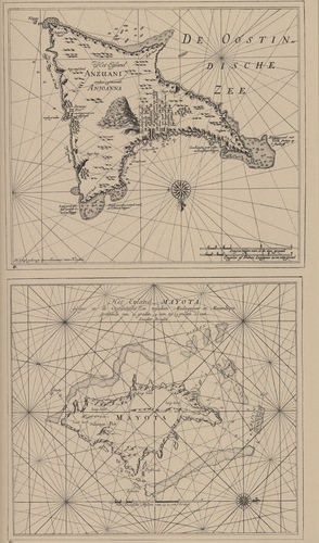
Van Keulen (1728, kaart 140) Description Het Eyland Mayota gelegen in de Oostindische Zee tusschen Madagascar en Moçambique strekkende van 12 graden 54 min tot 13 graden 22 min Zuyder Breedte + Het Eyland Anzuani anders genaamt AnjoannaDatum: 1728Plaats: Comoren, MayotteJPG file - 3.99 MB - 3 650 x 6 201 pixelsadded on 2011-08-08836 viewsFrom reference de Marre, J.; van Keulen, J. (1753). De Nieuwe Groote Lic... (page [105])Click here to return to the thumbnails overview |

