A new integrated search interface will become available in the next phase of marineinfo.org.
For the time being, please use IMIS to search available data
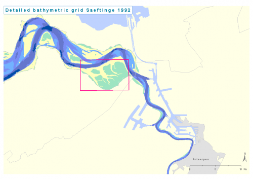
 PNG file - 33.42 kB - 936 x 662 pixelsadded on 2008-09-30345 viewsMap based on Detailed bathymetric grid Saeftinge 1992 Click here to return to the thumbnails overview |