A new integrated search interface will become available in the next phase of marineinfo.org.
For the time being, please use IMIS to search available data
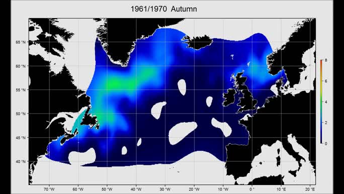
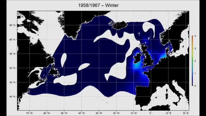
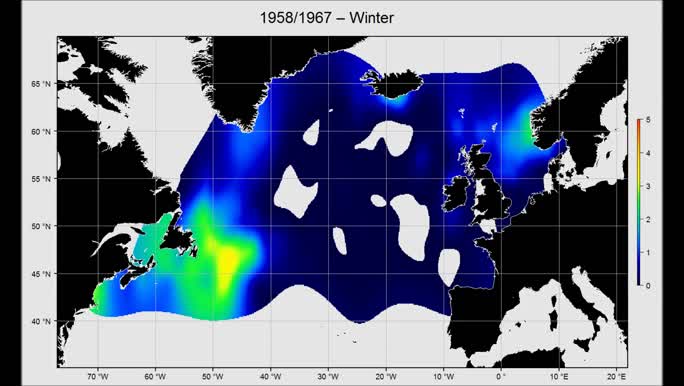
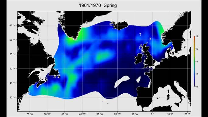
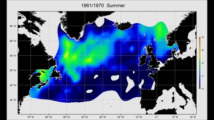
OOPS - Copepods: ICES Operational Oceanographic Products and Services - Gridded Copepod abundance data Citable as data publication Flanders Marine Institute (VLIZ); Sir Alister Hardy Foundation for Ocean Science (SAHFOS); Royal Netherlands Institute for Sea Research (NIOZ); (2018):OOPS - Copepods: ICES Operational Oceanographic Products and Services - Gridded Copepod abundance data; European Marine Observation Data Network (EMODnet) Biology project (www.emodnet-biology.eu), funded by the European Commission’s Directorate - General for Maritime Affairs and Fisheries (DG MARE). https://doi.org/10.14284/380 Contact: Availability:  This dataset is licensed under a Creative Commons Attribution-NonCommercial-ShareAlike 4.0 International License. This dataset is licensed under a Creative Commons Attribution-NonCommercial-ShareAlike 4.0 International License.Pictures (43) Description The International Council for the Exploration of the Sea (ICES), located in Copenhagen is an organisation providing scientific advice in the North Atlantic on the exploitation and stewardship of the marine ecosystem and marine living resources. Within this role, it is developing an integrated ecosystem advice at a regional level which will be appropriate to managers, policy developers and interested stakeholders. As part of this ICES has recently constructed “Ecosystem Overviews” which describe the trends in pressures and state of regional ecosystems. These advice processes require regular inputs of monitoring information on the oceanography and hydrology of the regions, called Operational Oceanographic Products and Services (OOPS). more This dataset consists of gridded abundance map of copepod species. This product was developed with DIVA (Data-Interpolating Variational Analysis). Data was provided by SAHFOS (Continuous Plankton Recorder (CPR) data (zooplankton) from the Sir Alister Hardy Foundation for Ocean Science (SAHFOS).). Scope Themes: Biology > Plankton > Zooplankton Keywords: Marine/Coastal, Biota, Coordinate reference systems, Data not evaluated, Geoscientific Information, Interpolated mapping, Metadata not evaluated, No limitations to public access, Oceans, Regional, WGS84 (EPSG:4326), A, North Atlantic, Acartia (Acanthacartia) Steuer, 1915, Calanus finmarchicus (Gunnerus, 1770), Calanus helgolandicus (Claus, 1863), Copepoda, Metridia lucens Boeck, 1865, Oithona Baird, 1843, Temora longicornis (Müller O.F., 1785) Geographical coverage A, North Atlantic [Marine Regions] Temporal coverage 1959 - 2012 Taxonomic coverage Contributors URLs Dataset status: Completed Data type: Data products Data origin: Monitoring: field survey Metadatarecord created: 2016-09-20 Information last updated: 2024-12-04 | ||||

